
Italy River Cruise Map
Where the boats go, and how the cities you visit by coach fit around them.
Get Free Italy River Cruise QuotesThe Route, Section by Section
Draw an Italy river cruise map and you get a small, dense area: Venice and its lagoon in the north-east, the canals running south past Chioggia to the Po, and the river reaching west across the plain towards Mantua. Everything else on the itinerary — Padua, Bologna, Ferrara, Verona — is reached by coach.
| Section | What is there | How you see it |
|---|---|---|
| Venice | St Mark’s, the Grand Canal, San Giorgio Maggiore | From the boat, on foot and by vaporetto |
| Northern lagoon | Murano, Burano, Mazzorbo, Torcello | Boat calls |
| Southern lagoon | Pellestrina, Chioggia | Boat calls |
| Canals to the Po | Waterways linking the lagoon with the river | Sailing, when itineraries include them |
| Lower Po and Delta | Levees, poplars, wetlands; Comacchio nearby | Sailing and short excursions |
| Mantua | Gonzaga palaces, the lakes of the Mincio | Barge and some ship itineraries |
| Inland cities | Padua, Bologna, Ferrara, Verona | Coach excursions |
Distances Are Short
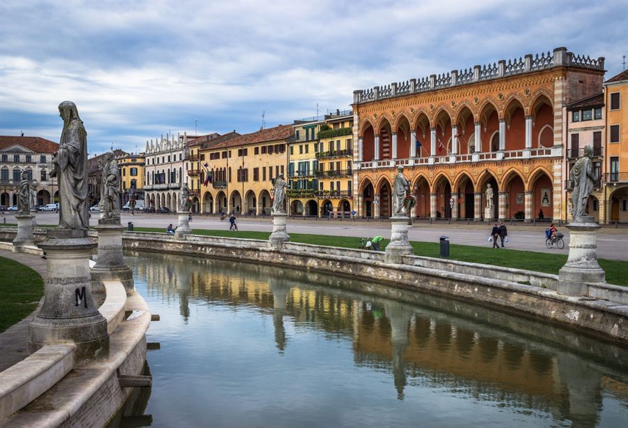
The whole Italian river cruise region would fit inside a single day’s sailing on the Danube. That is why boats move slowly and spend nights moored, and why itineraries rely on excursions. Padua is close to Venice; Bologna and Verona are longer coach rides.
Because routes vary by line and by water level, use the map to understand the region, then let us show you each itinerary precisely.
How Water Shapes the Route
The lagoon is shallow, tidal and crossed by marked channels, so boats follow set routes between the islands. The Po is a lowland river whose level depends on Alpine snowmelt and rainfall; in very dry summers it has fallen low enough to limit navigation, and in wet periods it can run high. That is why Italy river cruise itineraries carry a note that routes may change, and why lines sometimes replace a sailing day with a coach excursion. The places themselves stay the same: Venice and the islands, Chioggia, the Delta and Mantua.
Getting There
- Venice Marco Polo airport is the usual gateway, with water taxis and buses into the city.
- Venezia Santa Lucia station has fast trains from Milan, Florence and Rome.
- Mantua, where barge cruises begin or end, has rail links via Verona.
- Our cruise advisors arrange transfers between airport, station and boat.
Frequently Asked Questions
What does an Italy river cruise map cover?
A compact area of north-east Italy: Venice and its lagoon, Chioggia, the canals to the Po, the lower Po and its Delta, and Mantua, with Padua, Bologna, Ferrara and Verona reached by coach.
Can a river cruise reach Milan or Turin?
No. The navigable part of the Po for cruise boats is its lower course; Milan and Turin are visited by train before or after a cruise.
See Real Itinerary Maps
Ask our cruise advisors for the day-by-day route of each Italy river cruise.
Get Free Cruise Quotes